Over the past couple of years, we’ve held dozens of training webinars. We love data, so we always ask the same few questions. We aggregated that data and based on surveys with 470 users they reported: As a user, System Surveyor helps me do my job: 93% said “Absolutely” or “Oh Yeah”! n=470
One of the reasons that people love System Surveyor is that we’re always listening and improving upon the platform and tools. The product team has been busy delivering great new features that are in high demand by our customer community. These features provide more automation, ease-of-use, and relevance for various geographies. Please login and check them out!
Now available on all platforms: Web, iOS and Android:
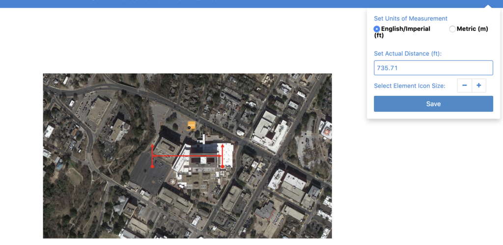
- Metric Unit Calculations:
- Now unit descriptions are ft (feet) and m (meters)
- Relevant for document scale, cable path lengths, area of coverage and element attribute labels
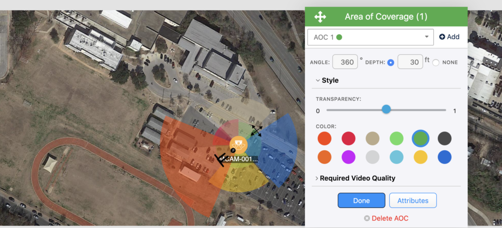
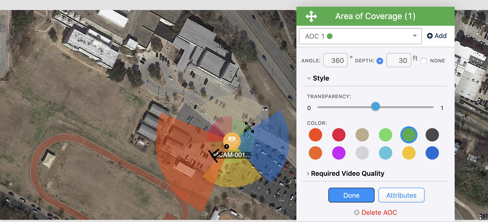
- Expanded Multi-Lens Area of Coverage (AoC) support:
- Expands from 4 AoC to 9 AoC
- Ideal for Multi Lens camera or multiple cameras on a pole
- Works for CameraAdvisor™
- Auto-Select Scale for Google Maps:
- Automated scale from Google Maps for ease and accuracya
Expanded Multi Area of Coverage (AoC):

Metric Units:

