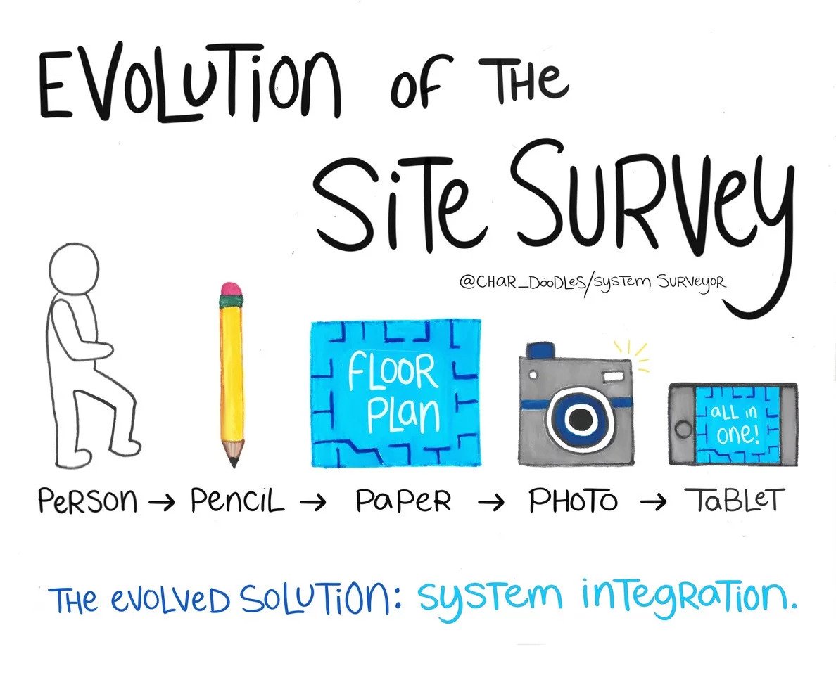
- The art of the survey has been improving for thousands of years. Throughout history, people have utilized the tools around them to capture precise measurements, map out territory, and set up complex structures and systems. As early as 1400 BCE, surveying techniques were used to accurately divide lands into taxable plots. The Egyptians, and later the Greeks, created and communicated surveys by using their most basic assets: their bodies.
As humans evolved, so did technology. The industrial revolution brought more accurate measuring tools, and people were able to record their plans more readily. With pencils and paper, which then evolved into paper floor maps, engineers continued to improve their craft. The invention of the camera kickstarted a new generation of surveying, as concrete, physical, visual evidence helped to increase accuracy and, in turn, customer satisfaction.
While a surprisingly large portion of the system integration industry still relies on pencils and paper floor plans, the site survey continues to evolve. Digital floor mapping technology combines human collaboration, written notes, floor plans, and photos into one intelligently integrated platform. With just an app on a mobile tablet, system experts can expedite the survey process by avoiding the scramble to stay organized. This technology increases efficiency, decreases confusion, and drives high profits.
Ready to evolve? Experience the future of site surveys and sign up for a free trial today!
